
Project 'Undercover Ice Agents' of the DLR Institute for Data Science
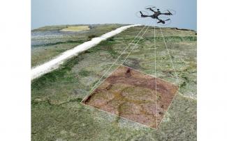
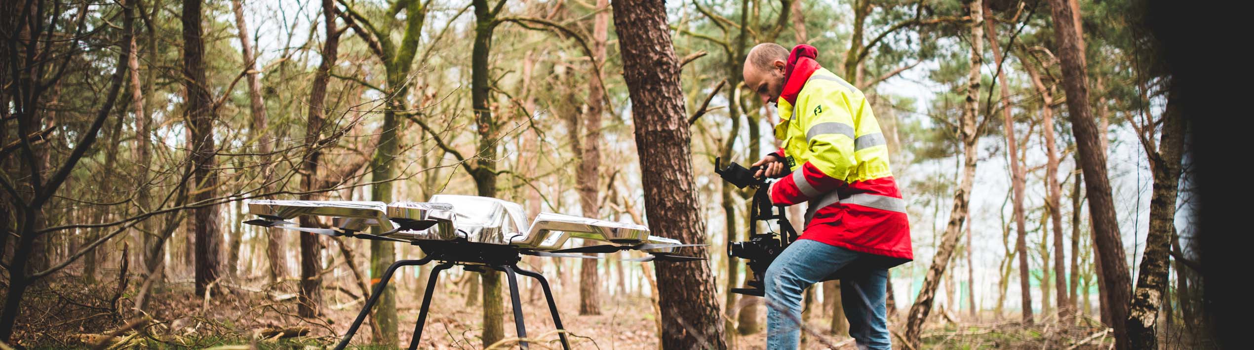
For thousands of years, permafrost has shaped the subsurface of the Arctic and subarctic latitudes. It extends from a few meters to more than a kilometer deep into the earth's interior. But for several decades now, global warming has caused the permanently frozen ground to thaw drastically. The escape of the greenhouse gases methane and carbon dioxide is particularly critical. The goal of the project "Undercover Ice Agents" of the DLR Institute for Data Science is to improve the data basis on thawing permafrost with the help of high-resolution drone and satellite images together with citizen scientists, especially school students. To this end, school classes in Germany and the Canadian Arctic will work together to analyze high-resolution remote sensing data. The students will use an app to map conspicuous structures and changes in the land surface on satellite and drone images. For this purpose, the mapping process will be divided into small and easy-to-solve tasks (so-called "micro-tasks") that can also be worked on the smartphone. This allows many students from different backgrounds to work together in helping to map the current state of permafrost for large areas in the Arctic. An important component of the project is also the collection of high-resolution remote sensing data by community members and students from Aklavik, Canada, using low-cost and easy-to-use drones. By repeatedly recording the land surface with drones, residents in the Arctic can make a vital contribution to research on climate impacts there.
"The integration of Citizen Science - i.e. the participation of citizens in the scientific process - into permafrost research within the framework of this BMBF project provides unique insights into the dynamics of the Arctic permafrost and thus offers the opportunity to better understand the consequences of the climate crisis in this region and can thus make a decisive contribution to research into the climate impacts there," explains apl. Prof. Christian Thiel, project leader and scientist in the Citizen Science department of the DLR Institute of Data Science. Citizen Science describes the process of knowledge generation through various participation formats in which citizens get involved, for example, in data collection on research questions, but also in co-creative processes out of conviction and often in their free time. DLR's Citizen Science department is all about supporting work on scientific projects by engaged citizens. "The ultra-high resolution drone imagery data and 3D point clouds allow conclusions to be drawn about the condition of the permafrost and the detection of signs of degradation. Deep learning algorithms are used to analyze the drone data ", said the scientist from Jena. "We are pleased that, thanks to the latest forms of digital information and communication tools, we can involve citizens in research and innovation processes and implement this exciting project in cooperation with the Alfred Wegener Institute (AWI) and the Heidelberg Institute for Geoinformation Technology (HeiGIT)," Thiel emphasizes.
Background on the BMBF funding project and the DLR Institute for Data Science can be found here.